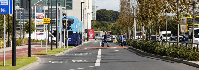
Clifton Scannell Emerson Associates (CSEA) were retained by Fingal County Council to carry out a transportation study of the Blanchardstown Catchment in Dublin 15. The Study area was bounded by the N2 National Road to the north, Meath County Boundary to the west, the M50 Motorway to the southeast and the River Liffey to the south.
The Study involved the following:
- Establishing existing traffic levels and estimating existing traffic generation characteristics based on existing land-use characteristics.
- Predicting the future traffic generated by the proposed large-scale Industrial, retail and housing developments.
- An assessment of the road network and public transport improvements required to cater for the predicted future traffic levels and to service the Development Plan zoned lands and proposed developments.
- A financial assessment projecting the necessary level of road levies for development of lands within the catchment.
- To consider the feasibility of various route options for a local distributor route (including provisions for a Quality Bus Corridor) between the N3 and N4 National Primary Routes. This would incorporate a bridge crossing of the River Liffey (possibly at high level).
This study involved detailed transport modelling and junction analysis in conjunction with road and junction design using road design and transportation software packages including: MX Roads, OSCADY, ARCADY, PICADY, TRANSYT, SATURN, VISSIM.

